Reality Capture for Industrial Facilities
mm-level reality capture for steel mills, recyclers, and heavy industry.
Spartan Scanning
Capture reality. Build the visual twin. Then scale to a digital twin.

Need help?
Call us to speak with one of our experts!
Reality Capture
Survey-grade scans. Same-week deliverables.
Identify bottlenecks
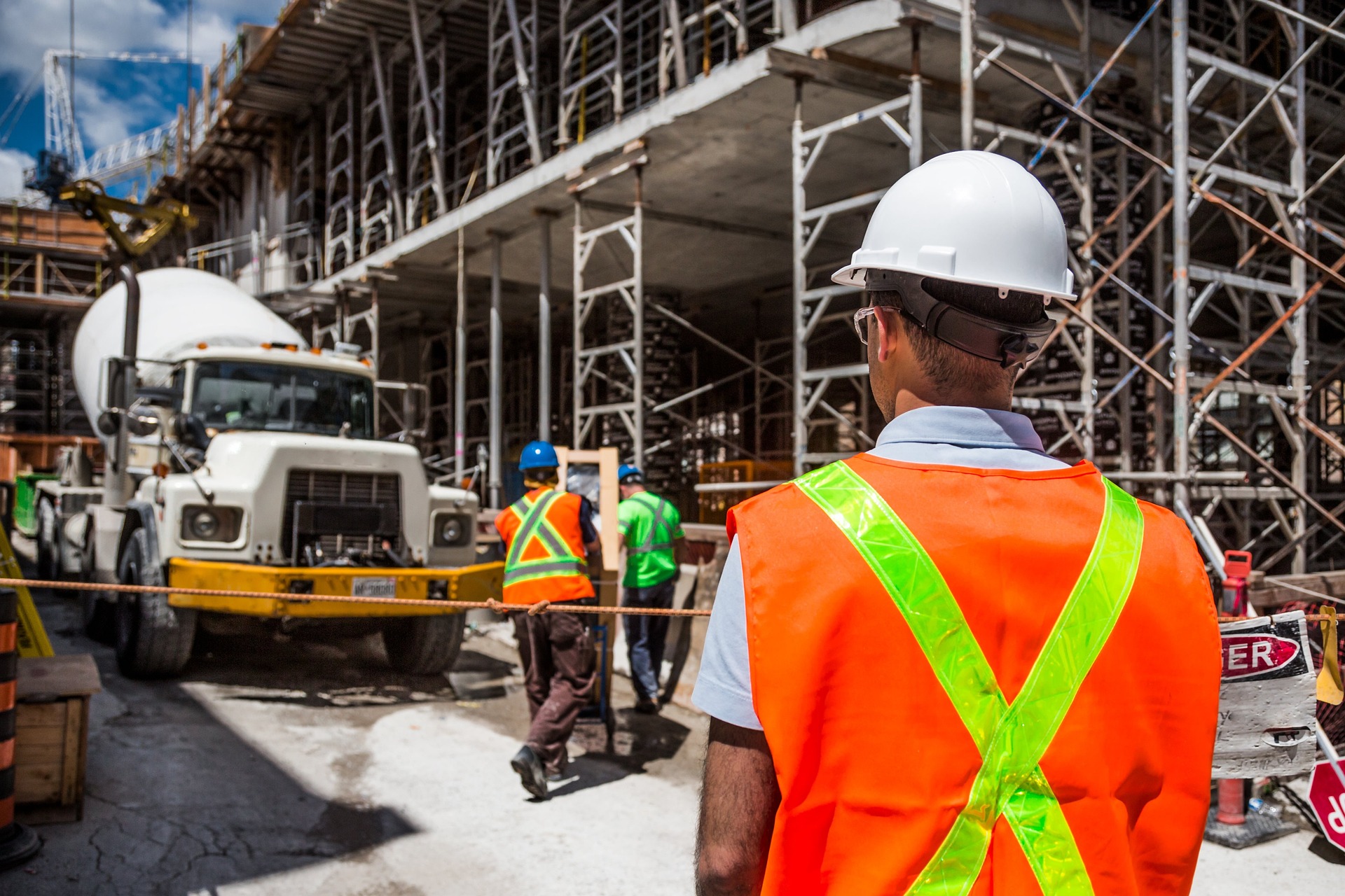
Capture exact existing brownfield conditions. Helping you understand bottlenecks that exist.
30% time savings
Save time by reducing the amount of outage, time saved in project planning, and overall construction times.
Standardize data sets
As assets age, differences between as-built and as- design data develop. Leading to wide- ranging consequences
Why reality capture
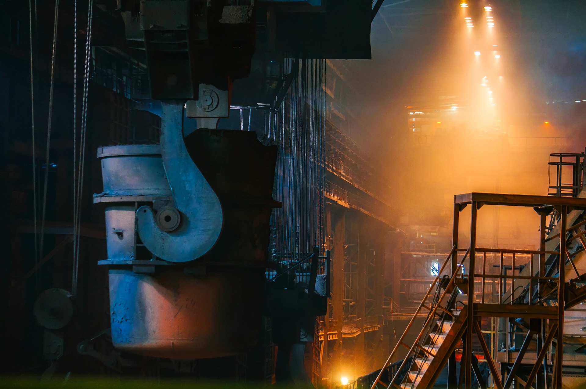
No more hand-measured guesswork. mm-level accuracy across a full plant.
End the era of hand-measured plant drawings. Spartan reality capture documents the exact as-built condition of your mill, recycling yard, or process plant. Engineers design against real geometry. Contractors pre-fit before they arrive. Shutdowns finish on time.
- A single data set
- Digital and Accurate
- Data unification
- Remove Miss-Measurements

What you get
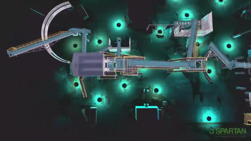
A working visual twin in 72 hours. The foundation for every decision after.
Walk your plant from anywhere. Visual twins are accessible from any browser, on any device. Engineers in three time zones look at the same point cloud, take the same measurement, and arrive at the same answer.
Why Spartan
Operations-grade. Service-led. Built for steel and recycling.
Digital data models make data more readily available for those who need it. As-built models created with reality capture technology help stakeholders visualize the existing MEP systems, which can improve communication and collaboration among project teams, contractors, and facility operators.

Testimonial
What clients say about us