
Steel mills lose $250,000 an hour to unscheduled downtime
Spartan Scanning Solutions
Reality capture at 1/8-inch accuracy. A Visual Twin your whole team can open in a browser. A Digital Twin when the data is ready. Built for steel mills, metals recyclers, and heavy manufacturing.
Visual twin first.
Digital twin when the data is ready.
Anthony explains Spartan Scanning Solutions’ Physical Governance Journey for steel mills, recyclers, and heavy manufacturing: capture the physical reality first, reduce downtime risk, then connect the twin to live operations when the system is ready.
See it in action
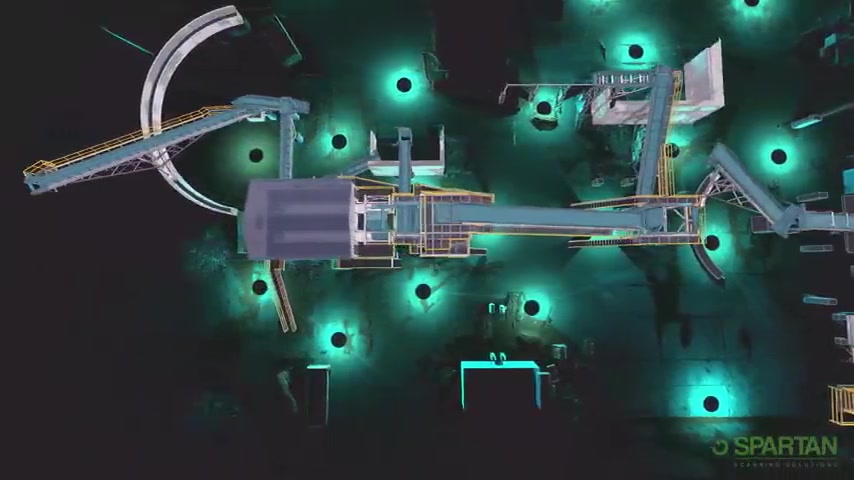
Real point clouds. Real digital twins. 1/8-inch measured accuracy on critical industrial assets.
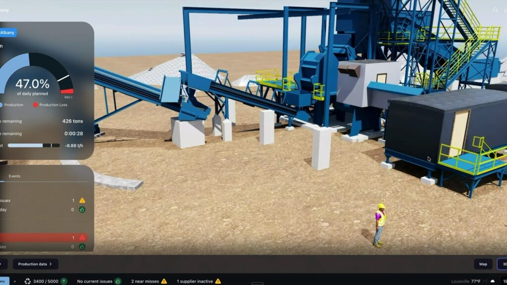
Metals Recycling Yard Digital Twin
Physics-based operations simulation. Live yard map by grade and location. Two-way connected data, not a static 3D model.
The plant changes. The documentation doesn’t.
Most expensive failures come from accurate decisions made against information that was wrong. Watch Anthony explain how capturing your physical reality first closes that gap, before it costs you.
Book a Demo





SPARTAN SCANNING
Visual twin in as little as 72 hours. Digital twin when you're ready. Not a twin without two-way data.
- Optimize Plant Efficiencies
- Identify Bottlenecks
- Data Unification
- Centralized information
Need help?
Call us today to speak to one of our experts!
how we help
We make having the data you need to operate your facility easy and accessible
Spartan Scanning Solutions In The Field
Recent Projects
The Physical Governance Journey
Three stops. Each one stands on its own and pays for itself. You go as far as your operation needs.
1. Reality Capture
We scan your facility and build your Baseline Map. Guaranteed accurate, with your money back if it isn’t.
We bring the scanners to you and capture your plant at 1/8-inch measured accuracy, without interrupting production. The result is a Baseline Map you can trust as ground truth, and if it isn’t accurate, you get your money back. Everything else is built on this.
2. The Visual Twin
A living, measurable, engineering-grade model of your plant. Your team uses it every day: planning, measuring, validating, coordinating.
In as little as 72 hours after the site visit you get a working visual twin your team can measure, plan, and coordinate against every day. No waiting on a full digital-twin program to start getting value. It pays for itself the first time it prevents a clash or a wasted trip.
3. The Digital Twin
Your facility data starts working with you: live data flows, simulation, and intelligence built on the same foundation.
When your data is ready, we connect the twin to live operations: real-time data flows, physics-based simulation, and intelligence layered on the same foundation. Same model, more power, on your timeline, not forced up front.
The Visual Twin is not a stepping stone. It is engineering-grade infrastructure that earns its keep from day one.
Steel, metals recycling, and heavy manufacturing
Industries we serve
We work where downtime is measured in six figures an hour. Pick your industry to see how the Physical Governance Journey applies to your plant.
Steel
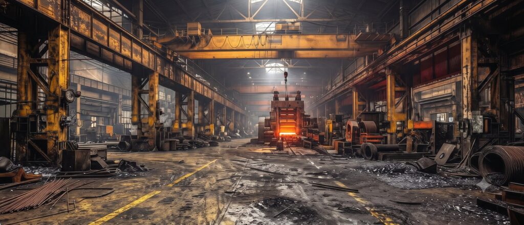
Steel mills lose $250,000 an hour to unscheduled downtime. Reality capture to 1/8 inch while you run, a visual twin in seven days, and a digital twin when the data is ready.
Metals Recycling
Yards change every week and the drawings do not. A visual twin your teams can walk from a browser, and RecycleTwin for live yard data when you are ready.
Built for heavy industry
A live visual twin of your facility in as little as 72 hours.
We capture your plant at 1/8-inch measured accuracy without interrupting operations, then deliver a working visual twin in as little as 72 hours. When you’re ready, we connect it to live data for a full digital twin. One saved hour of unscheduled downtime can pay for the entire engagement.
Testimonial
What clients say about us
“Spartan Scanning Solutions is a great company, and very knowledgeable in Point Cloud Scanning!”
Justin DeLap
Verified Google Review · ★★★★★
“Great quality scans and very fast turn around. Customer service was very good as well with great communication during the process.”
Evan Allen
Verified Google Review · ★★★★★
“Great quality, very professional, handles all details and takes the guess work out of the equation. A must need service for anybody looking to start a project.”
Justin P.
Verified Google Review · ★★★★★
Spartan on YouTube
Watch how industrial facilities run smarter.
Every week Anthony breaks down how steel mills, recyclers, and heavy manufacturers use reality capture, visual twins, and digital twins to cut downtime and run safer. New videos every Tuesday.
BLog
Our Content Library
FAQ
Frequently Asked Questions
Reality capture can capture a wide range of data, including geometric measurements, textural information, color and lighting, as well as metadata such as GPS coordinates and time stamps.