
Your yard changes every week. Your drawings do not.
Metals Recycling
A visual twin of the whole yard in seven days. RecycleTwin when you are ready for live data.
Recycling yards are the fastest-changing facilities in heavy industry. Piles move, conveyors get rerouted, a shredder line gets rebuilt over a weekend, and the last drawing anyone trusted is years old.
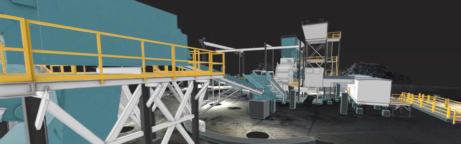
Spartan captures your yard to 1/8 inch while you keep running and delivers a visual twin your maintenance, safety, and project teams can open in a browser. When you are ready, RecycleTwin puts live yard data on top of it.
Need help?
Call us to speak with one of our experts
Built for recyclers
The problems a visual twin solves in a yard.
The most expensive mistakes in a yard come from good decisions made against bad information. A visual twin gives everyone the same measured picture of the yard as it stands today, so the next conveyor move, the next shredder rebuild, and the next safety review start from reality.
Equipment moves and rebuilds
Lay out a new shear, a rerouted conveyor, or a shredder rebuild against real geometry. Vendors pre-fit before they ship. No surprises on install day.
Safety and training
Walk crews through crane paths, exclusion zones, and confined spaces in the twin before they set foot in them. Onboard new hires from a desk.
Maintenance without the site walk
Pull clearances, belt runs, and access routes from a browser. Plan the outage before anyone climbs the structure.
RecycleTwin
Live yard data on measured reality.
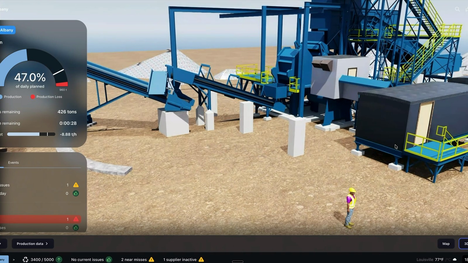
RecycleTwin is the recycling digital twin, built on your visual twin. Tons per hour, kilowatt-hours per ton, moisture, recovery, and downtime codes show up on the equipment they come from, inside the model of your yard.
Your team sees where flow stalls and fixes the constraint that actually limits the yard, not the one that is loudest.
Physical Drift
Scan again and see what moved.
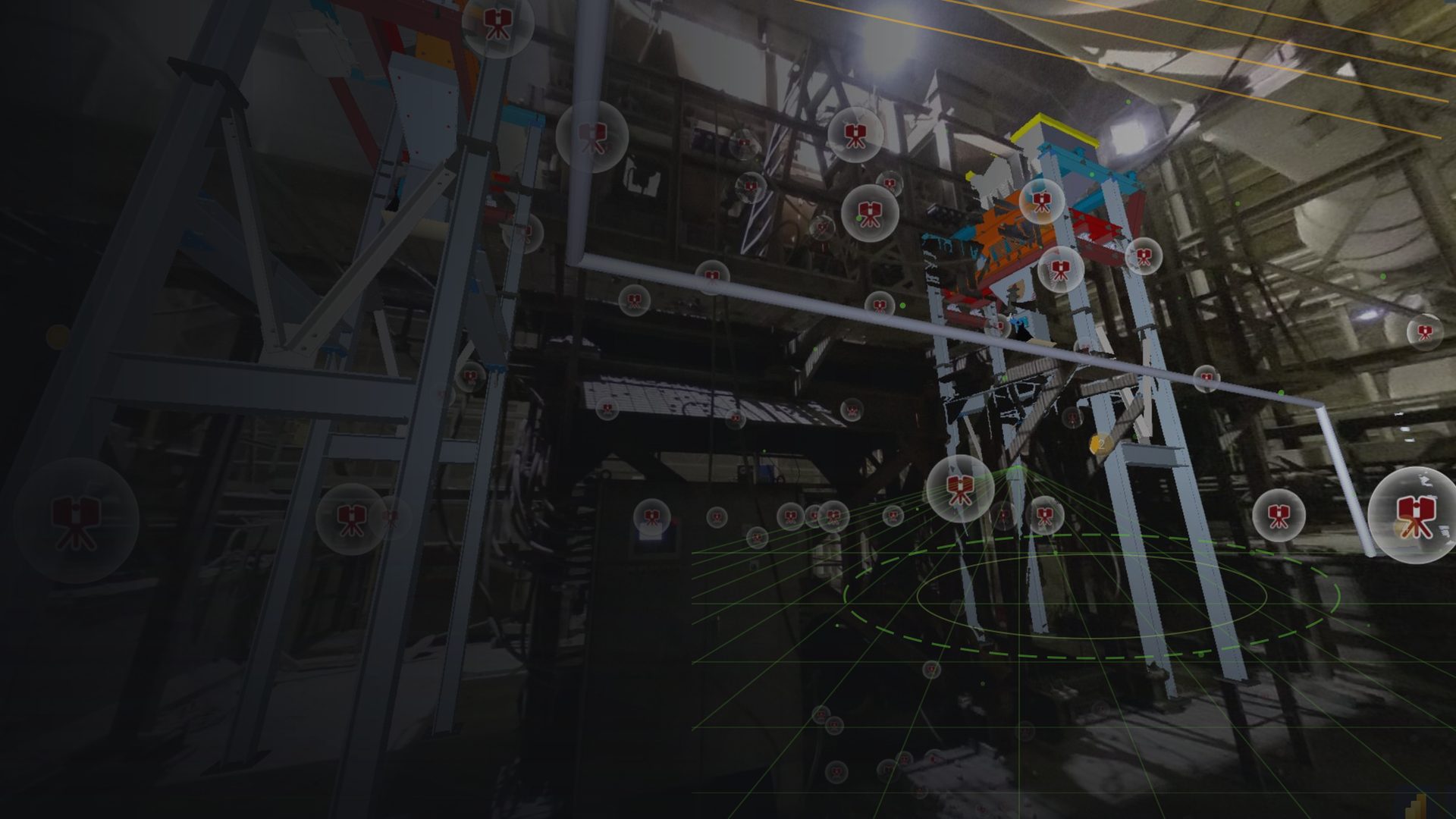
A yard never stops changing. Scan on your schedule and Physical Drift Monitor compares each new capture to the last one and reports what moved, where, and by how much.
You see the measurement. You decide what it means for the yard.
BLog
Related Article
FAQ
Frequently Asked Questions
Frequently asked questions
Can you scan a working yard without stopping it?
Yes. We plan capture around loader traffic, crane movement, and shift changes. Most yards never pause production for the scan.
What does a visual twin of a yard give my team?
One measured model of the whole yard, open in a browser. Maintenance pulls clearances without a site walk. Projects lay out new equipment against real geometry. Safety reviews crane paths and exclusion zones before crews enter. Everyone works from the same picture.
What is RecycleTwin?
RecycleTwin is our recycling digital twin. It sits on top of the visual twin and connects live yard data: scales, shredder and sort line signals, energy, and downtime codes. It reads from the systems you already run and shows the data on the equipment it comes from.
How accurate is the capture?
1/8 inch across the yard, from terrestrial laser scanning. UAV capture covers stockpiles and rooftops where a ground scanner cannot go.
How fast can we have it?
Standard delivery is seven days from the site visit. When a rebuild or outage needs it sooner, we can deliver in as little as 72 hours.
What happens when the yard changes?
You scan again on your schedule. Physical Drift Monitor compares the new capture to the last one and reports what moved and by how much.