Construction Verification

Construction Verification

Identify critical mistakes before they become expensive problems
With 100% accurate as built data you know exactly what constraints your project has at the start of the project. Removing the possibility for expensive problems to arise in the middle.
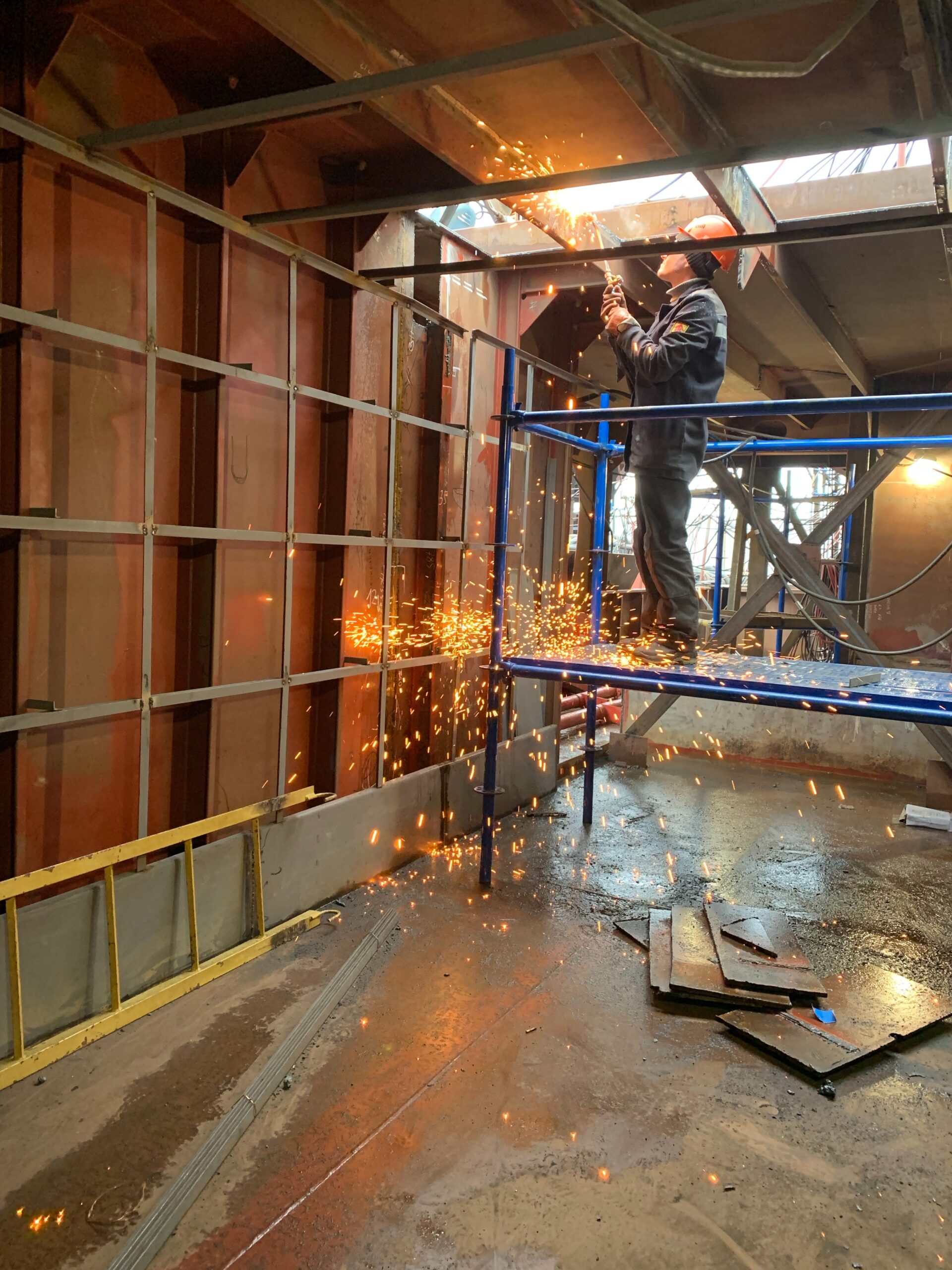
pexels-pavel-chernonogov-4025501
Need help?

Call us to speak with one of our experts!

Construction Verification

Get better as built data.

Save time, reduce cost, and increase safety with proper construction verification through reality capture.
Floor Flatness
Levelness Reports
Structural Deformation Analysis
Our Service

Significantly reduce design time

By providing your team the data they need faster and more accurately, you can save hundreds of hours on design time.
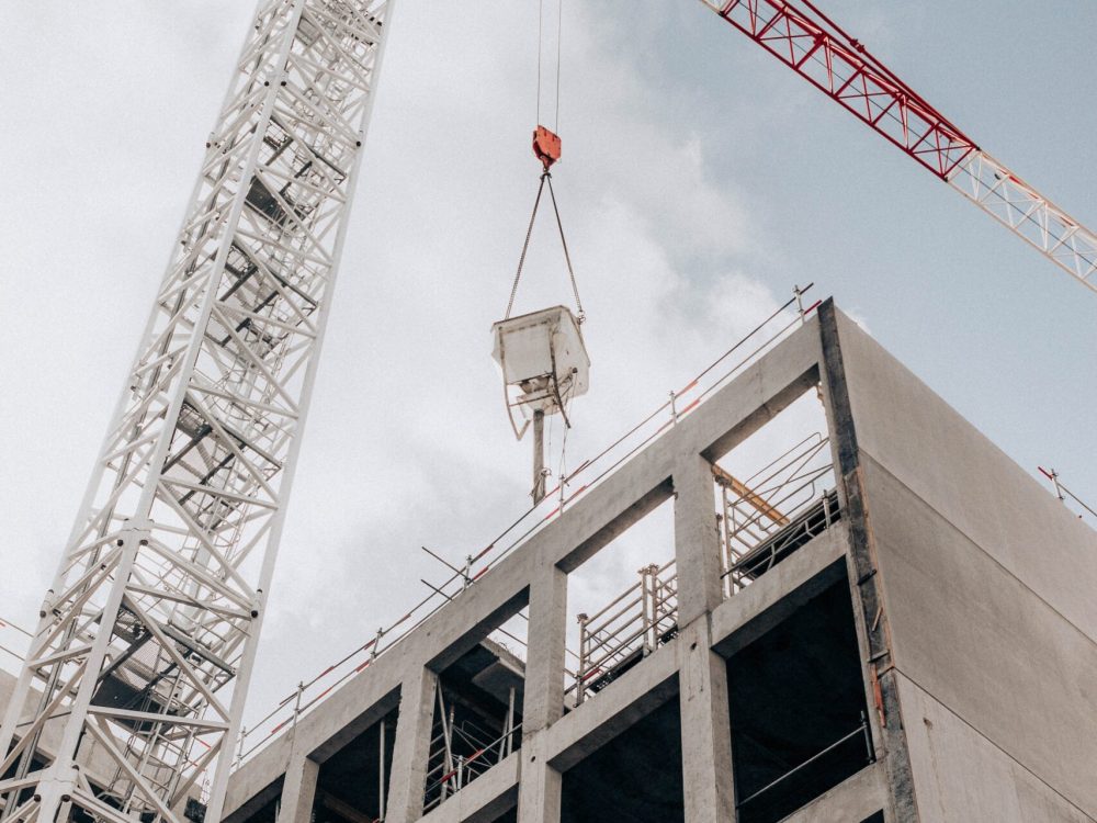
pexels-mathias-reding-7108780
pexels-thiago-matos-2317640
Our Service

Go from reactive to predictive maintenance

Fix problems before they become expensive roadblocks. With the right as built data you can become predictive problem solvers instead of reactive problem solvers. Saving you time and money.
Testimonial

What our clients say

FAQ

Frequently Asked Questions

Reality capture refers to the process of collecting data of physical spaces or objects using various types of technology such as laser scanning, photogrammetry, lidar and SLAM. The captured data is then processed to create accurate digital representations of the real world conditions that can be used by a variety of professional disciplines like operations, architecture, engineering, construction, entertainment and more.
The level of accuracy depends on the type of technology used and the purpose of the project. Generally, modern reality capture systems can achieve accuracy levels ranging from a few millimeters to a few centimeters.
Our equipment varies depending on the specific needs of each project. We use advanced laser scanners, cameras, drones, and other specialized tools that allow us to capture data with high precision and detail.
Laser scanning uses laser beams to measure distances and create 3D models of objects and spaces, while photogrammetry uses photographs to extract geometric information and create digital models. Both techniques have their advantages and disadvantages, and the choice between them will depend on the specific requirements of your project.
The duration of a project depends on its scope and complexity. Generally, it takes a few days to a few weeks, but larger or more intricate projects may take several months or even years to complete.
Reality capture can capture a wide range of data, including geometric measurements, textural information, color and lighting, as well as metadata such as GPS coordinates and time stamps.
Reality capture has many applications in fields such as architecture, engineering, construction, manufacturing, entertainment, and virtual reality. Some common uses include creating digital models of buildings, surveying terrain, designing and visualizing products, creating 3D maps, and producing immersive experiences.
Yes, modern reality capture technologies can capture data from all kinds of environments, including outdoor spaces. In fact, some technologies like Lidar are particularly useful for scanning large areas such as cityscapes or natural landscapes.

Frequently asked questions

What is construction verification?

Construction verification is scanning a build in progress and comparing the measured result against the design. It answers one question early: does what was built match what was specified?

When during construction should we scan?

Scan at the points where a mistake becomes expensive to reverse. Common milestones are after foundations, after structural steel, and before anything gets closed in. Catching a deviation while the work is still accessible is far cheaper than finding it at handover.

What kind of problems does it catch?

Misplaced anchor bolts and embeds, out-of-tolerance steel, slab deviations, clashes between trades, and equipment foundations that do not match the approved drawings. These are the issues that generate change orders and schedule slip when they surface late.

How accurate is the comparison?

Terrestrial laser scanning holds roughly 1 to 3 mm, which is tight enough to verify structural and equipment placement against design tolerance.

Who uses the output?

General contractors, owners, and engineering teams. Owners use it to verify what they are paying for. Contractors use it to document that work was built correctly and to resolve disputes with measured evidence rather than opinion.