Pick the wrong scanning method for a steel mill and you find out during the outage, when there is no time left to scan again.
Four methods compete for the job: terrestrial laser scanning, photogrammetry, drone capture, and mobile SLAM. They are not interchangeable. Each one has an accuracy band, a speed, and a specific way it fails on a hot mill floor. Here is how they compare, and when to use each.
The short answer
Terrestrial laser scanning is the best method for steel mills. It holds millimeter accuracy on the structures and tie-ins that matter, and it works in dust, heat, and low light where camera-based methods fall apart.
The other three support it. Drones cover roofs, stacks, and stockpiles nobody can safely reach. Mobile SLAM sweeps long runs of pipe rack and corridor fast. Photogrammetry adds color and surface detail. A real mill scan uses laser as the backbone and brings in the others where they win.
Terrestrial laser scanning
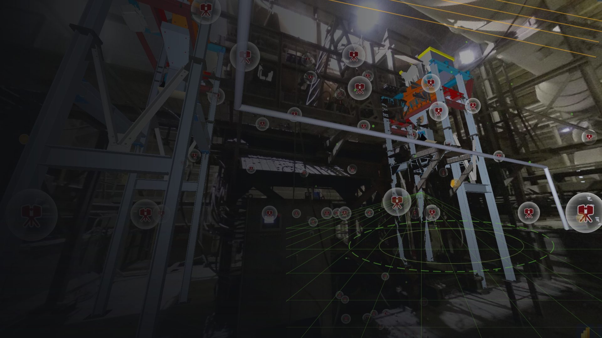
A tripod-mounted scanner fires a laser pulse and measures the return, millions of times per setup. You move the tripod, scan again, and register every setup into one point cloud.
Accuracy. Modern terrestrial scanners hold roughly 1 to 3 mm on a single scan. Comparative surveying research places terrestrial laser scanning within 1 to 2 mm of total station measurements on the same coordinates and distances.
Where it wins. Structural steel, pipe racks, equipment foundations, crane rails, clearance checks, and any tie-in your crew plans to weld to. Anything where being wrong by an inch costs a shutdown day.
Where it struggles. Line of sight. The scanner records only what it can see, so congested areas need more setups. Very dark oxidized steel and polished surfaces return less signal and need a closer setup.
Photogrammetry
Photogrammetry builds 3D geometry from overlapping photographs. Software matches features across images and solves for position and shape.
Accuracy. A wide range, and it depends almost entirely on image quality, overlap, and survey control. Close-range studies report discrepancies from about 20 mm out to 300 mm. Well-controlled close-range work lands in the 10 to 50 mm band.
Where it wins. Color and surface condition. A photogrammetric mesh shows corrosion, labels, gauge faces, and wear that a monochrome point cloud hides. It also covers large open areas cheaply.
Where it struggles. Steel mills are the hard case for cameras. Cameras need texture and even light. A mill gives you deep shadow beside glare, uniform gray surfaces with no features to match, and heat shimmer that bends the image. Accuracy drops exactly where the plant is most congested.
Drone and UAV capture
A drone flies a planned grid and shoots overlapping images, or carries a lidar payload. The output is a point cloud or mesh of everything visible from above.
Accuracy. Photogrammetric drone work is governed by ground sample distance and ground control. With good control, expect centimeter-level results. Without it, expect decimeter.
Where it wins. Roofs, stacks, conveyor galleries, baghouses, scrap bays, and stockpile volumes. Anywhere scaffolding or a man lift would otherwise be the only way to get a measurement. Drone capture removes a fall risk from the job.
Where it struggles. Indoor mill flight is constrained by cranes, thermal updrafts, and the fact that GPS does not work inside a steel building. Drones supplement a mill scan. They do not carry it. See how we run UAV operations alongside ground scanning.
Mobile and SLAM scanning
A SLAM scanner is carried or pushed while it maps continuously, solving its own position as it moves. An operator walks the plant and the cloud builds behind them.
Accuracy. Typically 10 to 30 mm, and drift accumulates over long runs unless the trajectory closes on control points.
Where it wins. Speed and coverage. SLAM captures a mile of pipe rack, corridor, and stairwell in the time terrestrial scanning covers a fraction of it. It is the right tool for general layout, egress routes, and space claim.
Where it struggles. Precision work. Do not design a tie-in against SLAM data. The tolerance is not there.
Side-by-side comparison
| Method | Typical accuracy | Speed | Best use in a mill | Main limitation |
|---|---|---|---|---|
| Terrestrial laser scanning | 1, 3 mm | Slowest per area | Tie-ins, clearances, structural steel, foundations | Needs line of sight and more setups |
| Photogrammetry | 10, 50 mm controlled, up to 300 mm uncontrolled | Fast capture, slow processing | Surface condition, color, corrosion record | Fails in low light, glare, and heat shimmer |
| Drone / UAV | Centimeter with ground control | Fast over large areas | Roofs, stacks, stockpiles, unreachable exteriors | Limited indoors, no GPS inside steel structures |
| Mobile SLAM | 10, 30 mm | Fastest | Layout, corridors, egress, space claim | Drift over distance, too coarse for tie-ins |
Why a steel mill is harder than a warehouse
Generic scanning advice assumes a building. A mill breaks most of those assumptions.
- Heat. Air above hot metal shimmers. That shimmer bends light and adds noise to optical measurement. Capture near a caster or reheat furnace has to be planned around the thermal reality, not scheduled at random.
- Dust and particulate. Airborne dust scatters laser returns and produces stray points that have to be cleaned in processing.
- Surfaces that fight you. Mill scale, heavy oxidation, and fresh polished stock sit at opposite ends of reflectivity. Both reduce usable return.
- Live operations. Cranes move overhead. Traffic runs. Areas open and close on the production schedule, so the scan plan follows the mill, not the other way around.
- Congestion. Decades of retrofits leave a plant denser than any drawing shows. Congestion is the main reason single-method capture leaves gaps.
How we scan a mill
We do not pick one method and force the plant to fit it. We build the scan plan around what your team needs to measure.
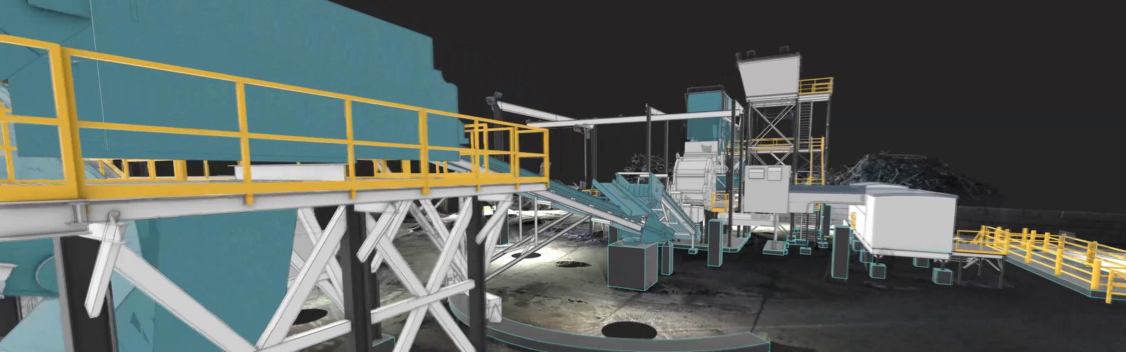
Terrestrial scanning covers the critical zones, meaning anything that will be designed, welded, or lifted against. Mobile SLAM fills the connective tissue between those zones. Drone capture takes the roof and anything that would otherwise need scaffolding. Everything registers into one coordinate system, so your team measures across the whole plant instead of stitching separate deliverables together.
You get a working visual twin in as little as 72 hours after the site visit. Walk through our process to see the full sequence.
How to choose
Work backward from tolerance. The question is not which scanner is best. It is how wrong you can afford to be.
- Welding, fitting, or installing to it? Terrestrial laser scanning. Nothing else holds the tolerance.
- Planning a route, a lift path, or a space claim? Mobile SLAM is fast enough and accurate enough.
- Measuring a roof, a stack, or a scrap pile? Drone.
- Recording condition for inspection or insurance? Photogrammetry, layered onto laser data.
- Not sure yet? Scan to the tighter standard. Upgrading coarse data means going back to site. Coarsening precise data costs nothing.
Frequently asked questions
What is the best 3D scanning method for a steel mill?
Terrestrial laser scanning. It holds roughly 1 to 3 mm accuracy and performs in the dust, heat, and low light of a working mill, where camera-based methods lose accuracy. Drone, mobile SLAM, and photogrammetry are best used to supplement it for roofs, long corridors, and surface condition.
Is laser scanning or photogrammetry more accurate?
Laser scanning, by a wide margin. Terrestrial laser scanning holds 1 to 3 mm and matches total station measurements within 1 to 2 mm. Photogrammetry ranges from about 10 to 50 mm under good control and can reach 300 mm without it. Photogrammetry earns its place on color and surface condition, not geometry.
Can you scan a steel mill while it is running?
Yes. We plan capture around your production schedule and crane movement, so you get accurate documentation without buying downtime to create it. See our reality capture approach.
Does heat from furnaces and casters affect scan accuracy?
It can. Hot air shimmers, and that shimmer distorts optical measurement and adds noise near the heat source. We plan setups and timing around thermal conditions, and we verify against control so the registered cloud holds tolerance.
How long does it take to scan a mill?
Field time depends on the area and congestion. Delivery does not. You get a working visual twin in as little as 72 hours after the site visit, then a full digital twin when your data is ready.
See it on your own plant
The right method is the one that matches what you need to measure. Start with a free virtual site visit. We walk your site, listen to what is actually costing you time, and show you what capturing your physical reality looks like for your operation. No pitch. Book your free virtual site visit, or call 888-354-SCAN.