
Visual Twins
Engineering-grade infrastructure your maintenance, capital projects, and safety teams work from every day. In a browser. Nothing to install.
Step two: Visual Twin
Your whole plant, measured to 1/8 inch, open in any browser.
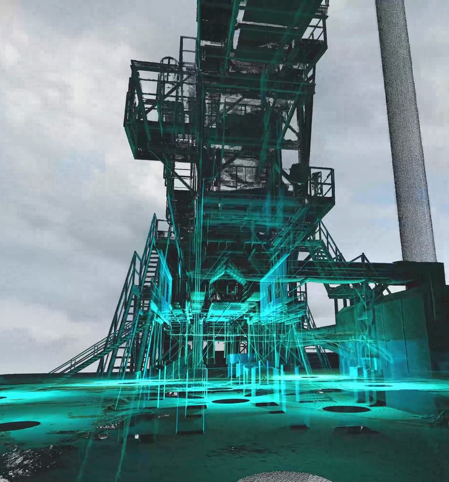
A visual twin is your reality capture data turned into a working model of the plant. Not a photo tour and not a snapshot. It is engineering-grade infrastructure: every point measured, every clearance checkable, every asset tagged.
Your team opens it in a browser and walks the facility from anywhere. Maintenance plans against it. Capital projects design in it. Safety reviews happen in it before anyone steps on the floor.
Need help?
Call us to speak with one of our experts!
The platforms
Built on Cintoo, NavVis IVION, and Prevu3D. Delivered in seven days.
We build your visual twin on the web-based platform that fits how your plant works, and we run it for you. No servers, no seats to manage, no 40-gigabyte files to email. Log in, click, measure.
Cintoo
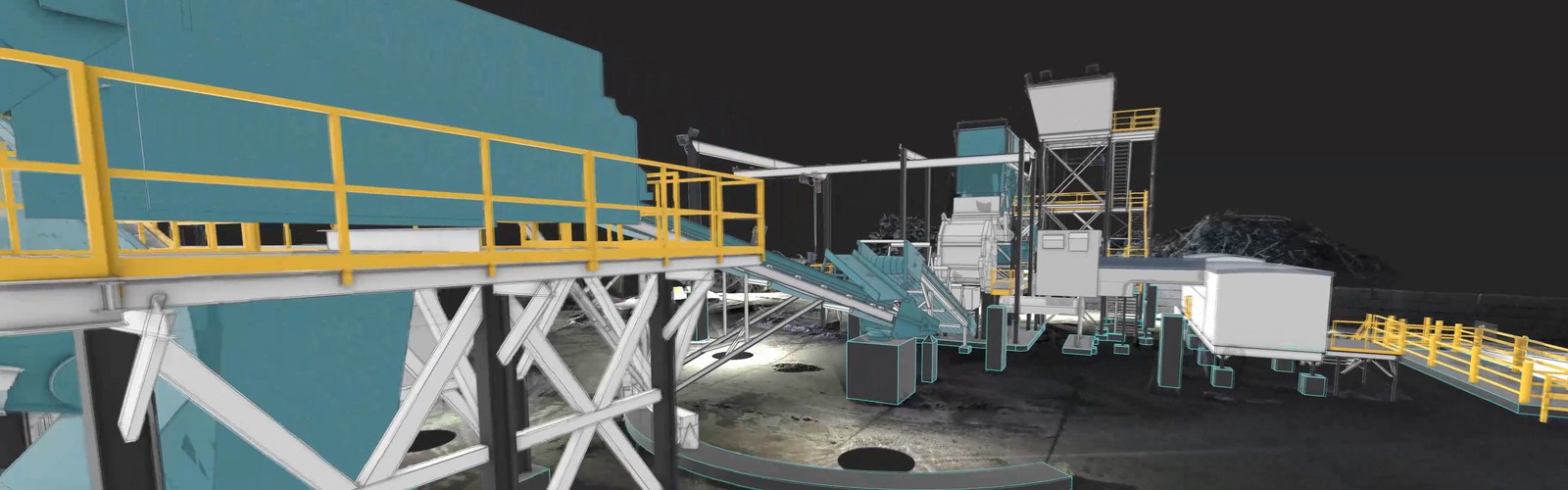
Full-density point cloud streaming in the browser. Measure, annotate, and compare scans side by side. Built for plant-scale data.
NavVis IVION
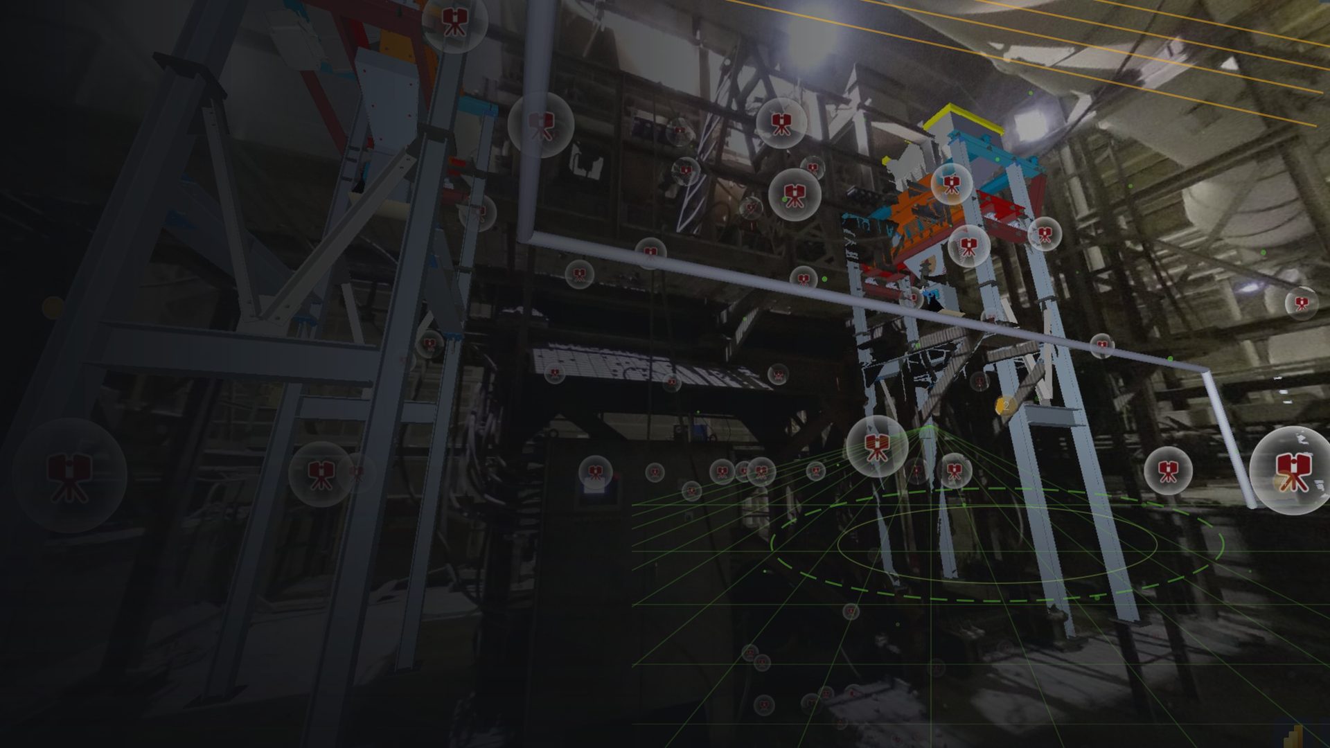
Photo-realistic walkthroughs with the measured point cloud behind them. Ideal for training, planning, and giving contractors a virtual site visit.
Prevu3D
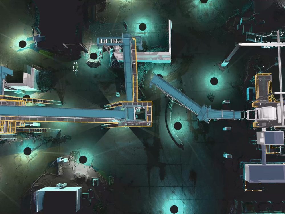
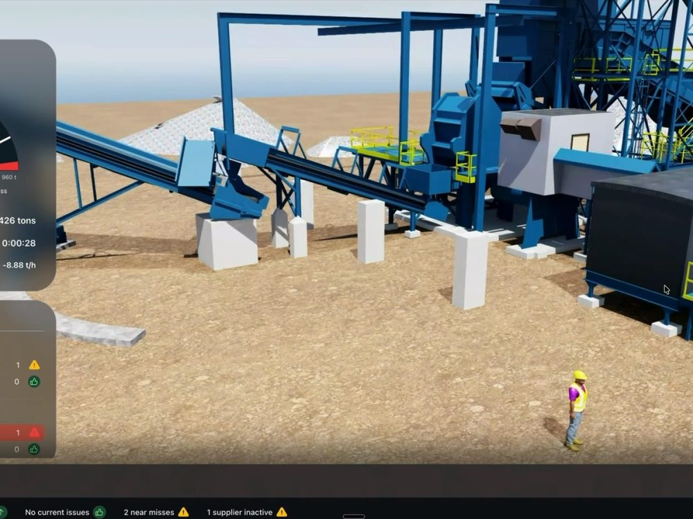
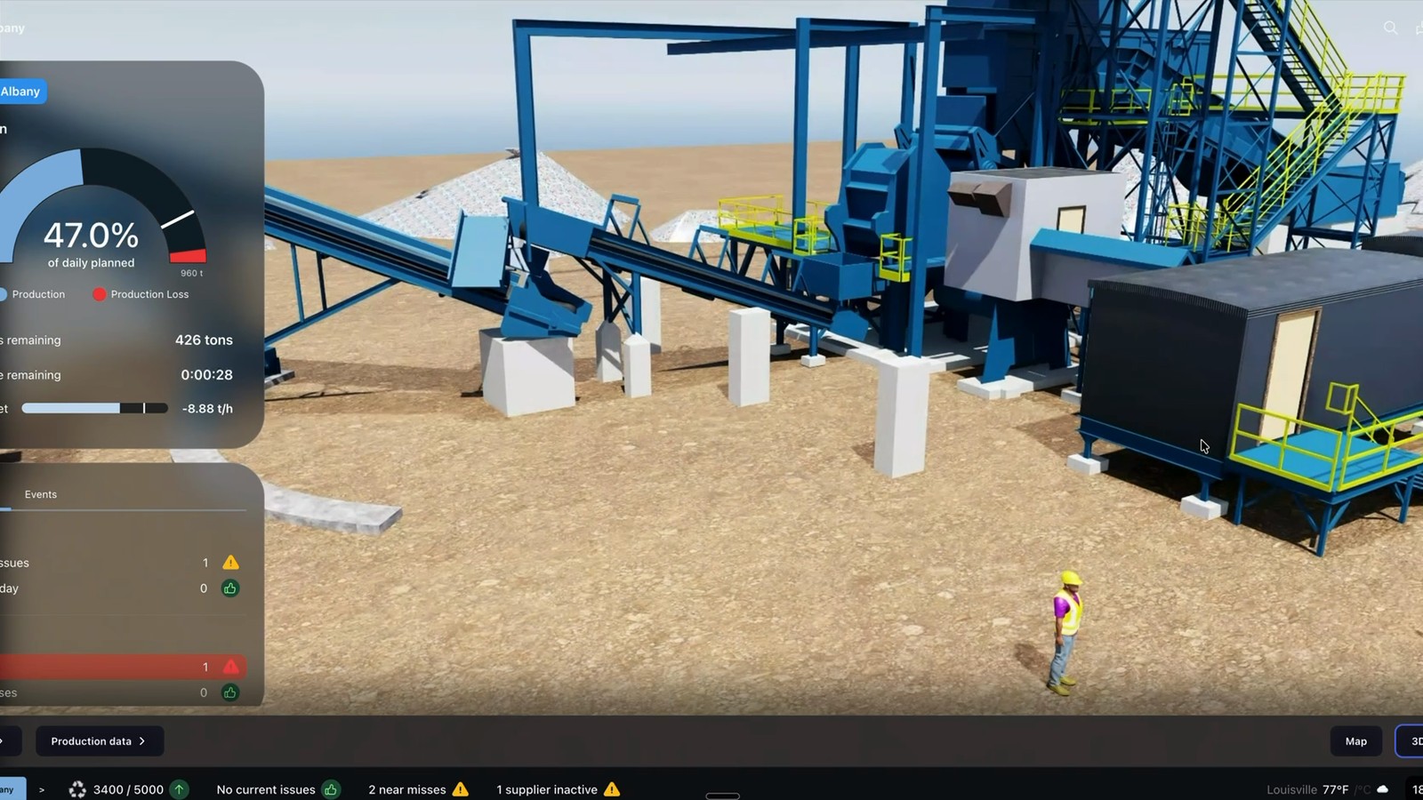
Turn the point cloud into a 3D environment for layout, simulation, and equipment moves. Test a change before you cut steel.
Operational use cases
Maintenance, capital projects, and safety work from the same twin.
Maintenance planners pull clearances and pipe runs without a site walk. Capital projects design against real geometry, so vendors pre-fit before they ship. Safety teams review confined spaces, fall hazards, and crane paths in the twin first.
Every measurement comes from the same model, so every team gets the same answer.
Physical Drift
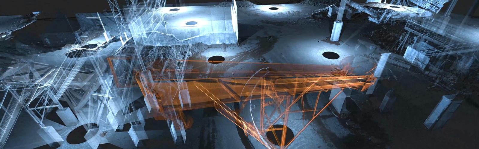
Scan again and see exactly what moved.
The plant changes. The twin keeps up. Scan again on your schedule and Physical Drift Monitor compares the new capture to the last one and reports what moved, where, and by how much.
You see the measurement. You decide what it means for the plant.
Why Spartan
We build it, host it, and keep it current.
Your team should not have to become point cloud experts to use one. We capture the data, build the twin on the right platform, load your asset tags, and manage the account. When you need a new scan, we come back.
Seven-day delivery. Fixed pricing with travel included. 100% money-back guarantee.
BLog
Related Article
FAQ
Frequently Ask Questions
Frequently asked questions
What is a visual twin?
A visual twin is a measured, browser-based model of your facility built from reality capture data. Every point in it comes from a laser scan, so you can measure it, tag it, and trust it. It is engineering-grade infrastructure, not a photo tour.
How is a visual twin different from a digital twin?
A visual twin is the measured physical plant. A digital twin adds live operational data on top of it, like crane positions, equipment status, and production signals. You need the visual twin first because the digital twin runs on it.
Do we need special software?
No. Cintoo, NavVis IVION, and Prevu3D all run in a standard web browser. We set up the account and manage it for you. Your team logs in and works.
How accurate is it?
1/8 inch across the plant, from terrestrial laser scanning. Every measurement you take in the twin traces back to that captured data.
How fast can we have it?
Standard delivery is seven days from the site visit. When a shutdown or project needs it sooner, we can deliver in as little as 72 hours.
What happens when the plant changes?
You scan again on your schedule. Physical Drift Monitor compares the new capture to the last one and reports what moved and by how much.