Mechanical / Electrical / Plumbing

Gives you a product that reflects innovation.

Spartan Scanning

Avoid obstacles when updating equipment with as built data

With 100% accurate as built data you can avoid the otherwise inevitable roadblocks in your upcoming project.
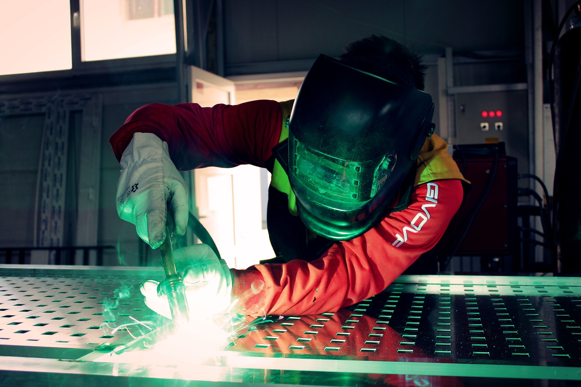
welding-g672a22825_1920
Need help?

Call us to speak with one of our experts!

888-354-SCAN

Reality capture for MEP

Get better as built data with reality capture

Scan to BIM
Shop & Fab Drawings
Clash Detection Reports
Our Service

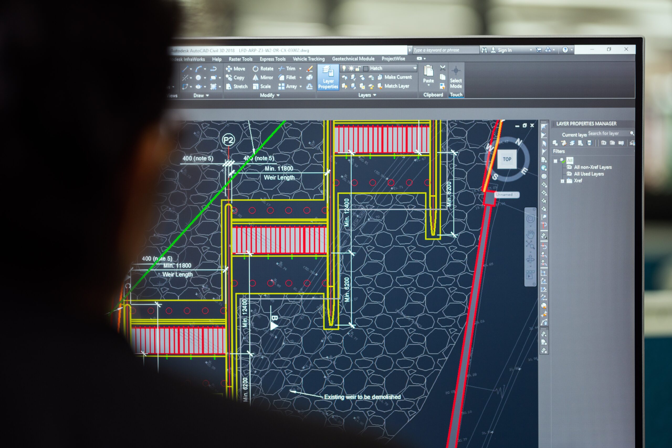
Generate 3D modeling of your entire piping system

A 3D as built model of your entire piping system to show you your virtual constraints before the project start, and to avoid running into issues down the road.
pexels-gerzon-piñata-9512003 (1)
pexels-thisisengineering-3862379
Our Service

Save hundreds of man hours

By capturing 2 million data points a second, you have hundreds of man hours you would normally spend measuring your facility.

Our Service

Get a 3D point cloud model for ease of collaboration

Generate an easy to use & share point cloud map for increased collaboration, reduced site visits, and an overall cost savings.
pexels-energepiccom-110469
Testimonial

What our clients say

FAQ

Frequently Asked Questions

Reality capture refers to the process of collecting data of physical spaces or objects using various types of technology such as laser scanning, photogrammetry, lidar and SLAM. The captured data is then processed to create accurate digital representations of the real world conditions that can be used by a variety of professional disciplines like operations, architecture, engineering, construction, entertainment and more.
The level of accuracy depends on the type of technology used and the purpose of the project. Generally, modern reality capture systems can achieve accuracy levels ranging from a few millimeters to a few centimeters.
Our equipment varies depending on the specific needs of each project. We use advanced laser scanners, cameras, drones, and other specialized tools that allow us to capture data with high precision and detail.
Laser scanning uses laser beams to measure distances and create 3D models of objects and spaces, while photogrammetry uses photographs to extract geometric information and create digital models. Both techniques have their advantages and disadvantages, and the choice between them will depend on the specific requirements of your project.
The duration of a project depends on its scope and complexity. Generally, it takes a few days to a few weeks, but larger or more intricate projects may take several months or even years to complete.
Reality capture can capture a wide range of data, including geometric measurements, textural information, color and lighting, as well as metadata such as GPS coordinates and time stamps.
Reality capture has many applications in fields such as architecture, engineering, construction, manufacturing, entertainment, and virtual reality. Some common uses include creating digital models of buildings, surveying terrain, designing and visualizing products, creating 3D maps, and producing immersive experiences.
Yes, modern reality capture technologies can capture data from all kinds of environments, including outdoor spaces. In fact, some technologies like Lidar are particularly useful for scanning large areas such as cityscapes or natural landscapes.

Frequently asked questions

Why scan MEP systems?

MEP routing is where retrofits go wrong. Pipe, conduit, and duct get rerouted over years and the drawings rarely keep up. Scanning records where those systems actually run, so equipment changes get planned against reality instead of assumptions.

Can you model our entire piping system?

Yes. We capture the piping and produce as-built geometry your engineering team can design against, at a level of detail agreed up front based on what the model is for.

How does this save design time?

Your team stops making trips to site to verify dimensions and stops designing around unknowns. Measurements come from the model, and questions nobody thought to ask during the walkdown can still be answered later without going back.

Will this catch clashes before installation?

That is the main reason to do it. New equipment and routing get checked against measured existing conditions, so interferences show up in the model rather than during installation when the crew is already on site.

Do we need to shut down to scan?

No. Capture is planned around your operating schedule.