
As-Built Modeling
Point cloud to CAD
A solid CAD model of your facility as it actually stands.
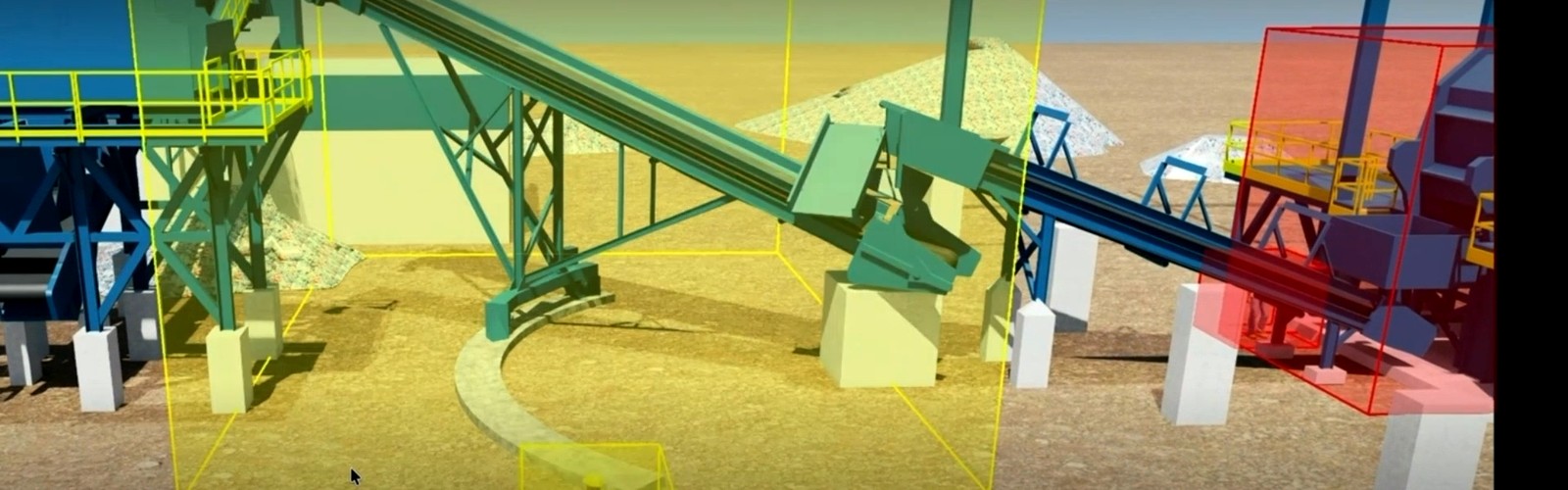
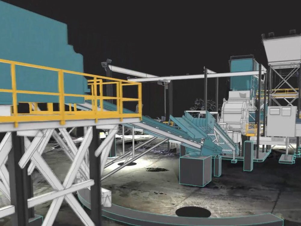
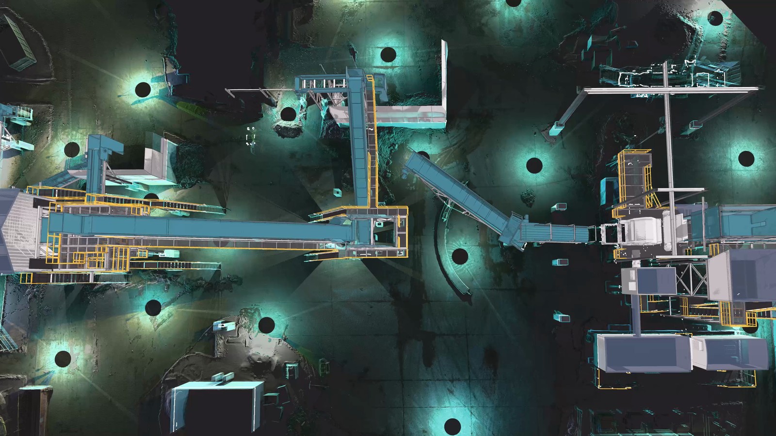
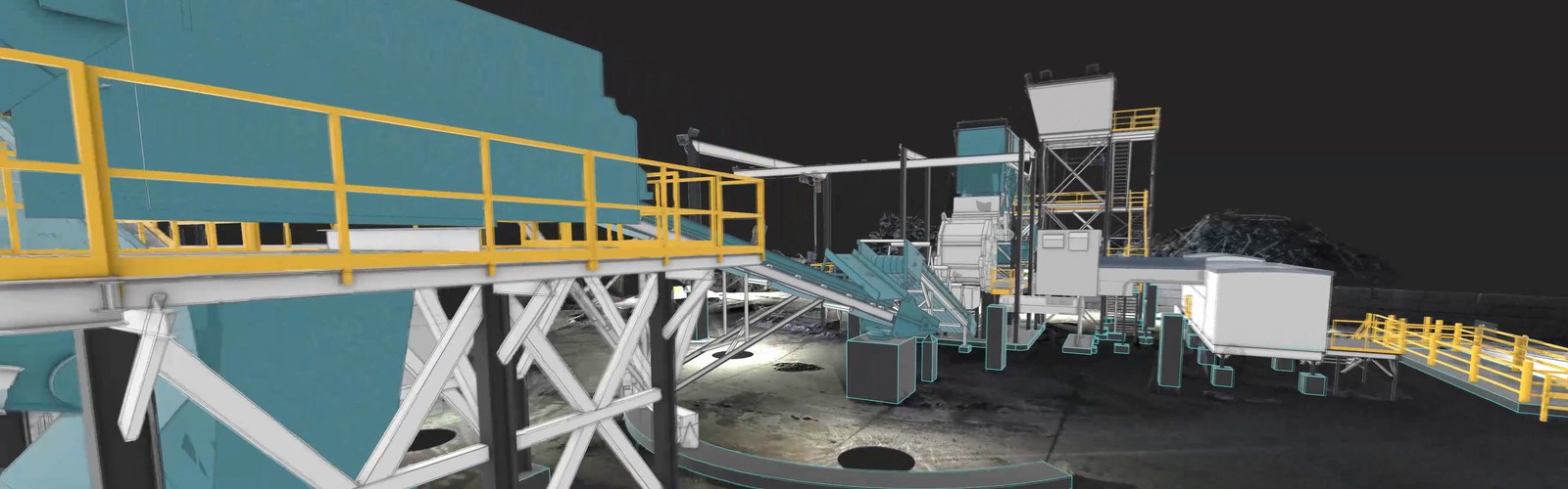
A point cloud is raw measurement. It is accurate, but it is not something your engineers can design in. As-built modeling turns your reality capture data into a solid, surfaced CAD or BIM model of the plant: structure, pipe, equipment, and conveyors as real objects.
Your team opens it in the software they already use and designs against the plant that exists, not the one on the 1998 drawing.
Need help?
Call us to speak with one of our experts today!
What you get
The most accurate model of your facility, in your CAD format.
As-designed and as-built almost never match after twenty years of changes. We model from the point cloud so every object in the CAD file sits where it sits in the plant, to 1/8 inch. Delivered in the formats your engineers and vendors already work in.
Accurate as-built geometry
Every element is modeled from measured points, not from old drawings or field sketches.
Ready for downstream design
Engineers and vendors design, clash-check, and pre-fit in the model before anything is fabricated.
Works with your CAD tools
Delivered in the formats your team already uses, including AutoCAD, Revit, and Navisworks.
Capital projects
See the constraints before they become change orders.
Tie-ins, clearances, and routing conflicts show up in the model, not in the field. Vendors pre-fit against real geometry so equipment arrives ready to set. Shutdown scopes get tighter and shutdowns finish on time.
Verification
Inspect as-built against as-designed.
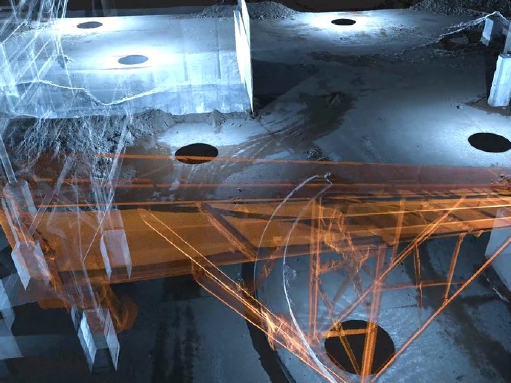
Overlay the design model on the scan and see exactly where reality and the drawings disagree. Deviations are measured and called out in the model, so the conversation with a contractor or vendor is about numbers, not opinions.
Documentation
Make the drawings match the plant.
Most facilities are running on drawings that stopped being true years ago. We bring the record up to date from measured data, so the next project starts from the plant you have.
Scan again later and Physical Drift Monitor measures what has moved since.
Testimonial
What clients say about us



BLog
Related Article
FAQ
Frequently Asked Questions
Frequently asked questions
What is as-built modeling?
As-built modeling converts a registered point cloud into structured CAD or BIM geometry. The scan records reality as millions of measured points. Modeling turns those points into the walls, steel, pipe, and equipment objects your engineers can actually design against.
What is the difference between a point cloud and an as-built model?
A point cloud is raw measurement. It is accurate and measurable but it is not intelligent geometry. An as-built model is built from that cloud and contains defined objects, so engineering software can use it for design, clash detection, and coordination.
How accurate is the finished model?
The model inherits the accuracy of the underlying scan, which holds roughly 1 to 3 mm for terrestrial capture. Modeling tolerance is agreed up front, because the right level of detail depends on what the model is for. A model for space claim does not need the tolerance of a model for a welded tie-in.
What formats do you deliver?
We match deliverables to what your engineering team already works in. Confirm the target software and level of detail during the site visit and we scope the modeling to it.
Do we need modeling, or is the scan enough?
Often the scan is enough. A visual twin is measurable on its own and many teams plan directly against it. Modeling earns its cost when you need intelligent geometry inside a CAD or BIM workflow.